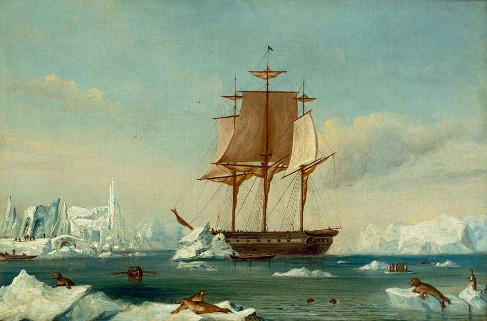
Six vessels under Lieutenant Charles Wilkes left Hampton Roads on a four-year scientific voyage that would survey some 280 Pacific islands and confirm the existence of an Antarctic continent. The expedition's charts guided American whalers and merchants for decades, and its scientific collections became the founding core of the Smithsonian Institution.
The U.S. Exploring Expedition was America's answer to the great naval scientific voyages Britain and France had already sent around the globe. Congress funded it grudgingly, and the Navy handed command to Charles Wilkes, a temperamental lieutenant junior to many officers he would command—a decision that bred resentment and, eventually, a court-martial after the voyage's return.
Despite the friction, the expedition's achievements were considerable. Wilkes's ships traced roughly 1,500 miles of Antarctic coastline in early 1840, enough to demonstrate that the ice mass to the south was a continent rather than scattered islands; a stretch of that coast still bears his name, Wilkes Land. Naturalists aboard collected tens of thousands of plant, animal, and mineral specimens, along with ethnographic artifacts from Pacific islands and the Pacific Northwest.
The voyage was plagued by disaster—two ships and dozens of sailors were lost, including in a bloody clash with Fijian islanders. Wilkes himself proved an unforgiving commander, flogging crew liberally and alienating his officers. Yet the specimens and data his expedition hauled home filled the shelves of the newly chartered Smithsonian Institution, giving the young republic its first great national museum collection.